Be part of something bigger and expand your Social Circle here.
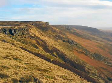
The Peak District is made up of two areas: The White Peak, which is a limestone plateau of green fields with rolling hills and many dales, and The Dark Peak (or High Peak) which is a series of higher, wilder and boggier grit stone moorlands.
Edale is set in a lovely position below Kinder Scout and situated in The Dark Peak area, which also gives its name to the valley between Mam Tor, Lose Hill and Kinder Scout. The valley is a collection of farming hamlets or booths dotted along the valley which grew around the original shelters or boothies used by shepherds when tending their sheep on the hillsides, such as Nether Booth, Barber Booth, Ollerbrook Booth, Upper Booth and Grindsbrook Booth.
The village built of local grit stone also houses a cafe, two pubs, a post office and general store, an early 19th century school and a late 19th century church. The Old Naggs Head, once the village blacksmiths, is the official start of the Pennine Way. The Pennine Way often referred to as the back bone of England is 267 miles long and heads north passing through the Yorkshire Dales and the Northumberland National Park ending at Kirk Yetholm just inside the Scottish Border.
The walk should last about 6 hours, including lunch at the Nag's Head, Edale Village.
